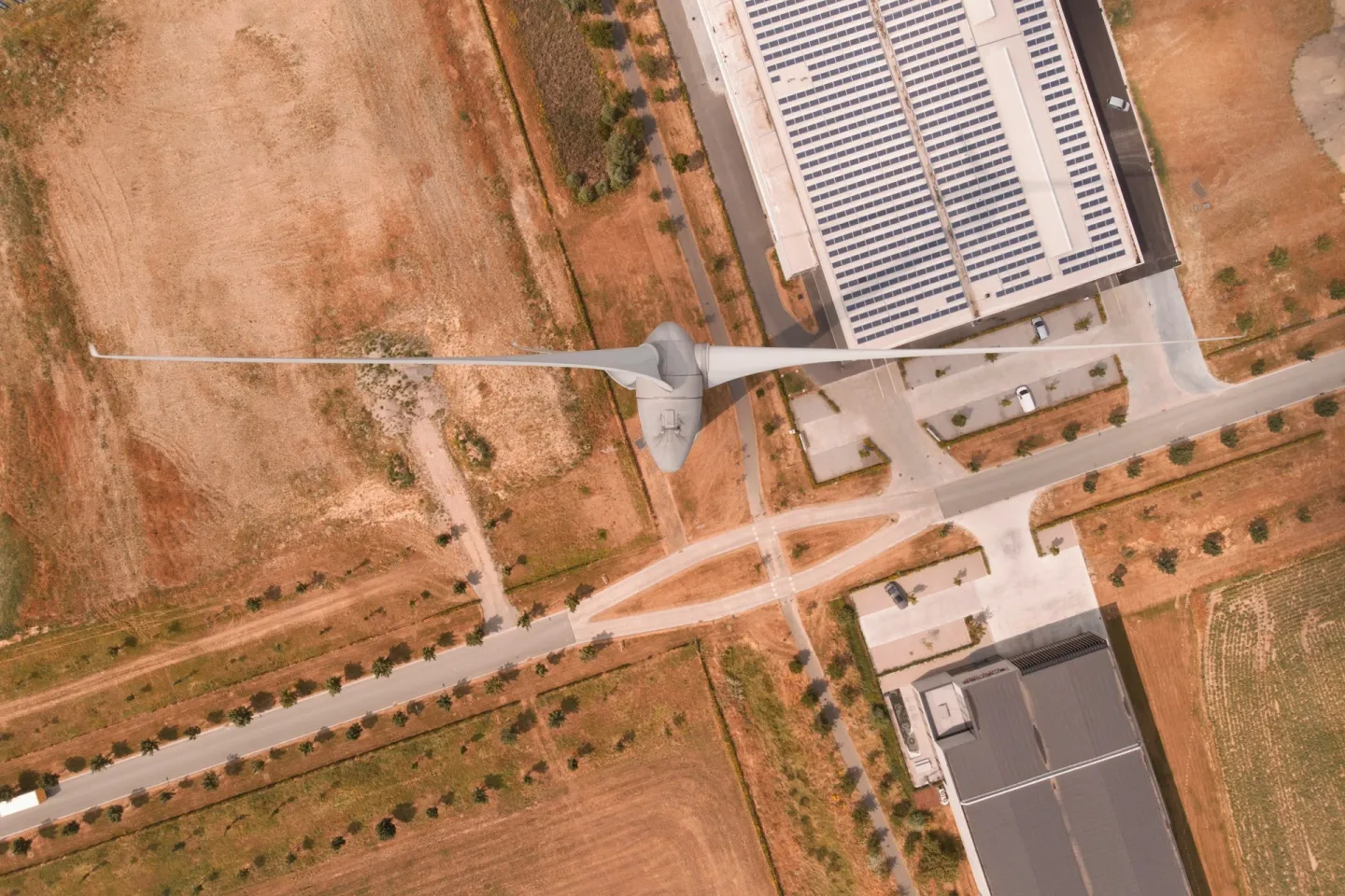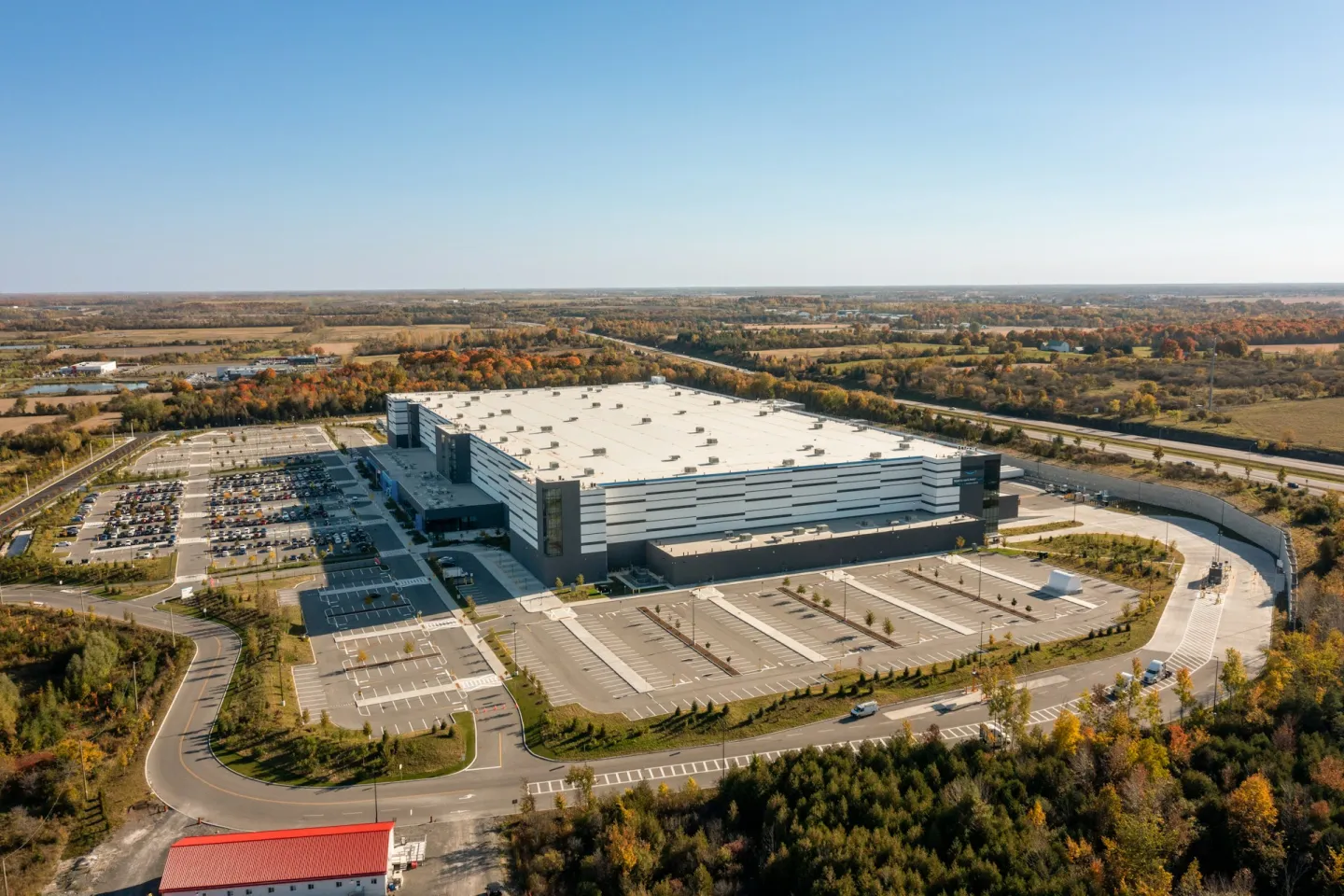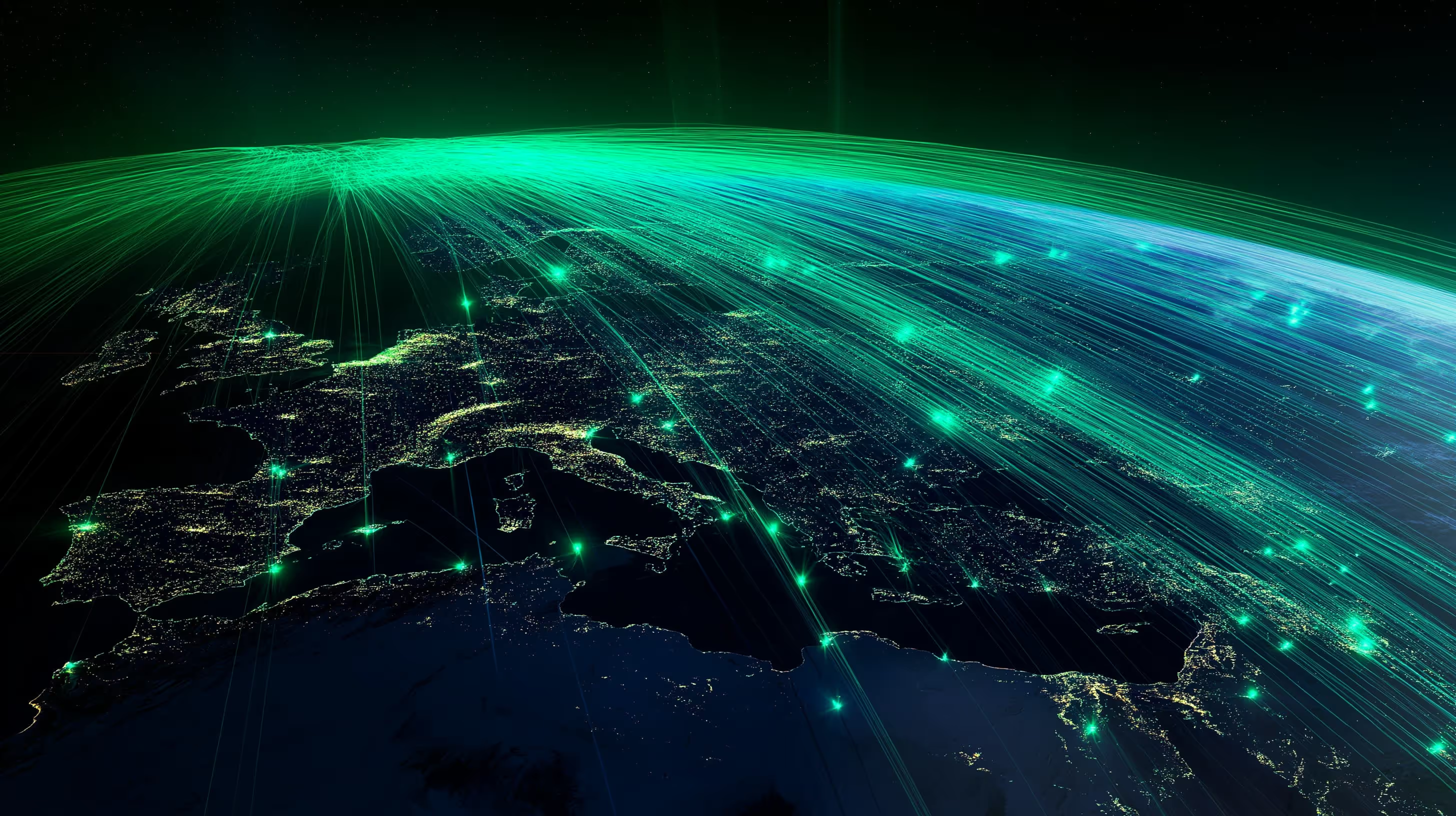


Satellite and sensor monitoring with AI anomaly detection — environmental and industrial deviations flagged before they become problems.
Combines satellite imagery and field signals on the same asset graph, continuously.
Models flag environmental and operational deviations and explain why, in English and Portuguese.
Emissions forecasting and continuous insights, with triage, acknowledgement and resolution.
Short answers on satellite and industrial data, anomaly detection and the EUDR. To see the alerts on your own sites, book a demo.
Sentinel AI is the CarbonOS agent that combines satellite imagery with industrial and IoT sensor data and uses AI to detect environmental and operational anomalies. It flags deviations at facilities, supply chain sites and land-use boundaries, such as thermal anomalies, changes in vegetation cover or unusual energy use, and explains the reason for each alert in English or Portuguese.
It serves environmental, sustainability, compliance and procurement teams that need to watch many sites without visiting each one, in sectors such as agribusiness, mining, energy, and oil and gas. The agent helps check whether supplier land has been deforested, compare declared data with independent observation and catch operational deviations before they reach regulatory reports.
It combines multispectral satellite imagery with the field signals that Signal Ingest brings in from SCADA, IoT sensors and meters, all on the same asset graph. AI models flag environmental and operational deviations and explain why, and each alert goes through triage, acknowledgement and resolution. The agent also produces emissions forecasts from this data and links every alert to the asset and to the data source.
The most direct case is the EU Deforestation Regulation (EUDR), which requires the geolocation of every plot of land that produced commodities such as soy, coffee, cocoa and wood, and proof of no deforestation after 31 December 2020. It applies to large and medium operators from 30 December 2026 (European Commission, 2026), and suppliers outside the EU provide the data. Sentinel AI also produces geospatial evidence for CSRD and IFRS S2 reporting.
Sentinel AI’s geospatial data feeds Carbon Intelligence, to compare the declared inventory with independent observation, Risk Management, which uses the signals in risk scoring, and Compliance Hub, which builds CSRD, ISSB and EUDR reports. Supply Chain uses the alerts in supplier assessments. For flares, Carbonova Sense complements the satellite view by inferring the combustion state on the asset itself.
No. Alerts show where to look and serve as independent evidence to check declared data, but emissions are still quantified from the plant’s measured data and the versioned emission factors in Carbon Intelligence. When an alert leads to a correction, the change is recorded in the Proof Engine with lineage back to the source, and verification stays with the independent verifier, in line with ISO 14064-3.