.avif)




[WHAT WE DO]
From raw satellite signals to actionable emission insights.

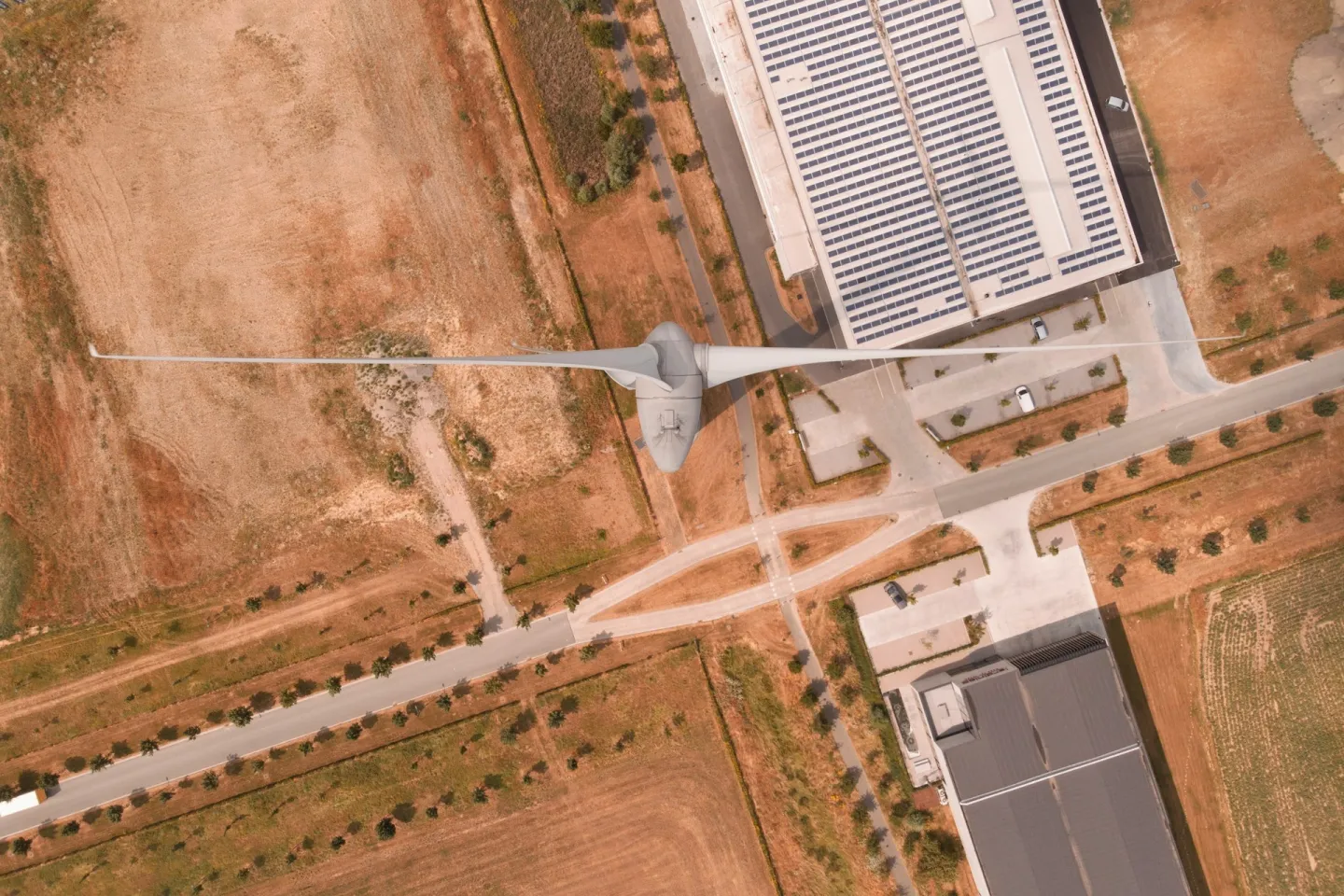
Satellite Observation
Multispectral imagery from Sentinel-2 (ESA Copernicus), PlanetScope, MODIS and Landsat processed by AI to detect thermal and environmental anomalies, deforestation and industrial activity.

AI Anomaly Detection
Machine learning models flag unexpected emission spikes, land-cover changes, or operational drift — before they show up in regulatory reports.

Real-Time Alerts
Automatic alerts trigger when anomalies are detected, connecting geospatial signals to operations teams and compliance workflows.

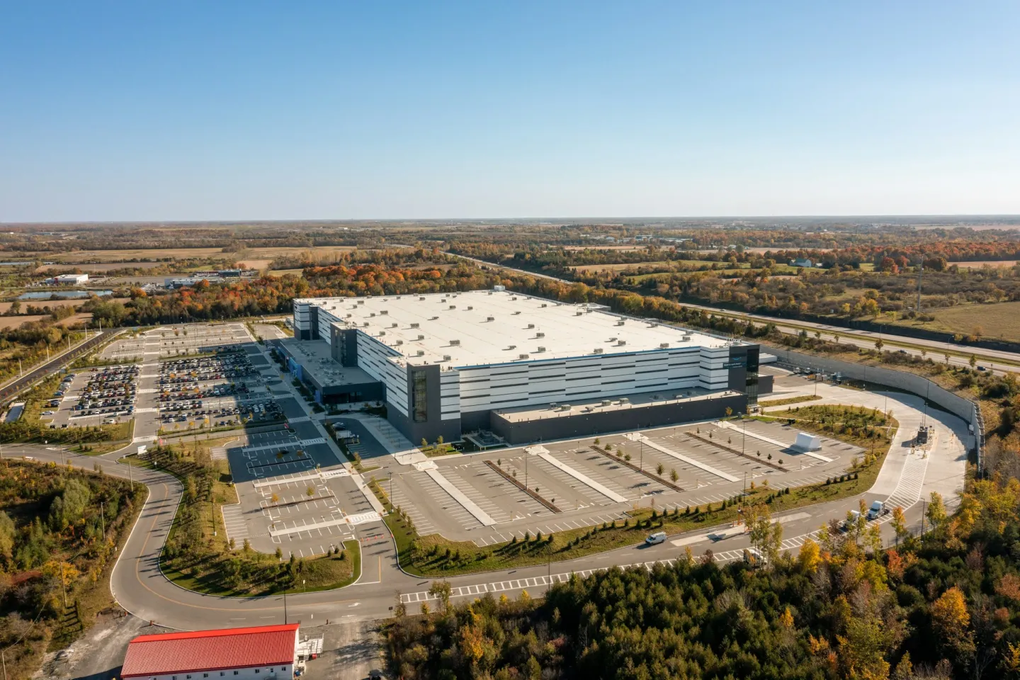
Geospatial Intelligence
End-to-end traceability from satellite pixel to audit-ready disclosure, with full data lineage for EUDR due diligence and CSRD assurance.