

SMARTER CARBON MANAGEMENT, POWERED BY AI
Measure, report, and reduce emissions with Agentic AI


For landowners
Unlock the untapped potential of your land. Monetize environmental conservation with verifiable carbon credits and boost your profitability by serving both the voluntary and regulated markets.
For enterprises
Automate your emissions management with AI and satellite imagery. Reduce operational costs, ensure regulatory compliance, and elevate your brand with measurable and reliable sustainable practices.
Sustainable solutions that create real impact.
Technology that transforms environmental actions into measurable financial results, creating value for your company and the planet.


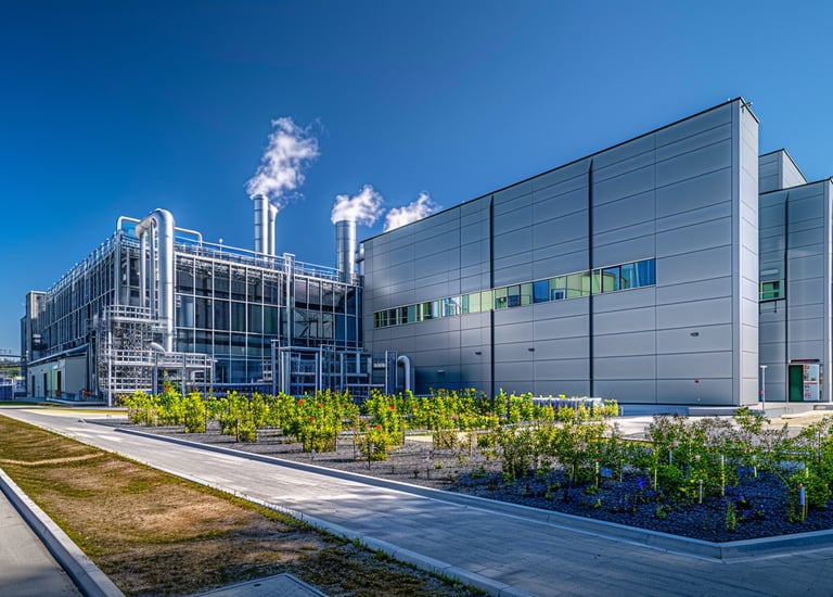
Emissions management with AI
Simplify the complex emissions inventory process with our cutting-edge technology. Our automated system collects, analyzes, and reports carbon data in real time—turning regulatory obligations into business opportunities.


Personalized consulting
We develop tailor-made carbon strategies for your business. Our expert team assesses your emissions profile, identifies priority opportunities, and implements solutions that balance environmental impact with financial return.


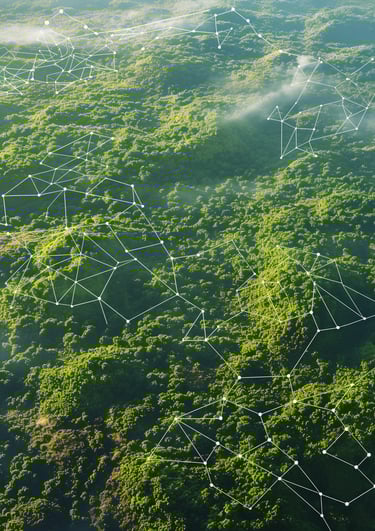
Geospatial services
Monitor your environmental assets with precision and reliability through satellite imagery and AI. Our technology detects changes in real time, generating automated technical reports with blockchain certification to ensure the integrity of your carbon credits.
Decarbonization
Set and achieve realistic carbon reduction targets with our intelligent platform. We identify high-priority decarbonization opportunities, quantify results, and ensure the credibility of your environmental initiatives with investors and consumers.


AI Emissions Management
Simple. Complete. Practical. Intelligent.


Execution over promises
Eliminate regulatory risks.
Global partners, local vision
Sustainability as a competitive advantage.
Using artificial intelligence and satellite imagery, we deliver advanced solutions to ensure reliable and traceable carbon credits—aligned with global climate goals and driving positive environmental impact.


Innovation that transforms
Positive impact, real sustainability.
We transform environmental management into a strategic tool, enabling companies and producers to reduce emissions efficiently and measurably. Our systems ensure full transparency and regulatory compliance, driving real change for the environment.


Simple. Complete. Practical. Intelligent. Be Carbonova.
CONTACT
Adress: Av. Brig. Faria Lima 3729, 5o Andar - Edíficio Birmann 29 - Itaim Bibi, São Paulo, SP, Brasil 04538-905
Hours: Monday- Friday 09:00 às 18:00
Email: contato@carbonova.ai
Phone: +55 11 2844-8594
GUIDING YOU THROUGH THE CARBON MARKET.
© 2025 Carbonova Tecnologia LTDA. All rights reserved.
Av. Brig. Faria Lima 3729, 5o Andar - Edíficio Birmann 29 - Itaim Bibi, São Paulo, SP, Brasil 04538-905